
St. Vincent Greenway Signage Replacement
St. Louis County, MO
2026
Legibility Is Infrastructure
Knowing where you are, where you are going, and how the path connects to the broader system is not a nice-to-have on a regional greenway. It is the difference between a corridor people use and one they abandon at the first confusing turn.
The St. Vincent Greenway had the route. It lacked the legibility.
Client
Great Rivers Greenway
Size
3.6 Miles
Acknowledgement
Work Completed by the Kanopi Gap team while Employed at LJC Design & Engineering

The team walked the corridor before drawing anything. Field investigation identified existing conditions, documented decision points, and located the moments where users needed information but were not getting it. Approximately 25 existing signs were evaluated for location, message accuracy, and consistency with Great Rivers Greenway's current design standards. The work then moved from assessment to strategy: a Signage Placement Plan and Message Schedule establishing where signs go, what they say, and how the full wayfinding system reads from one end of the corridor to the other.
The greenway passes through territory managed by multiple jurisdictions — St. Louis County Parks, UMSL, and Bi-State/Metro all have stakes in portions of the route. Coordination with each shaped final sign locations, resolved utility conflicts, addressed existing foundations and infrastructure, and ensured the solution worked alongside the systems already in place rather than against them. Accessibility requirements were applied throughout.
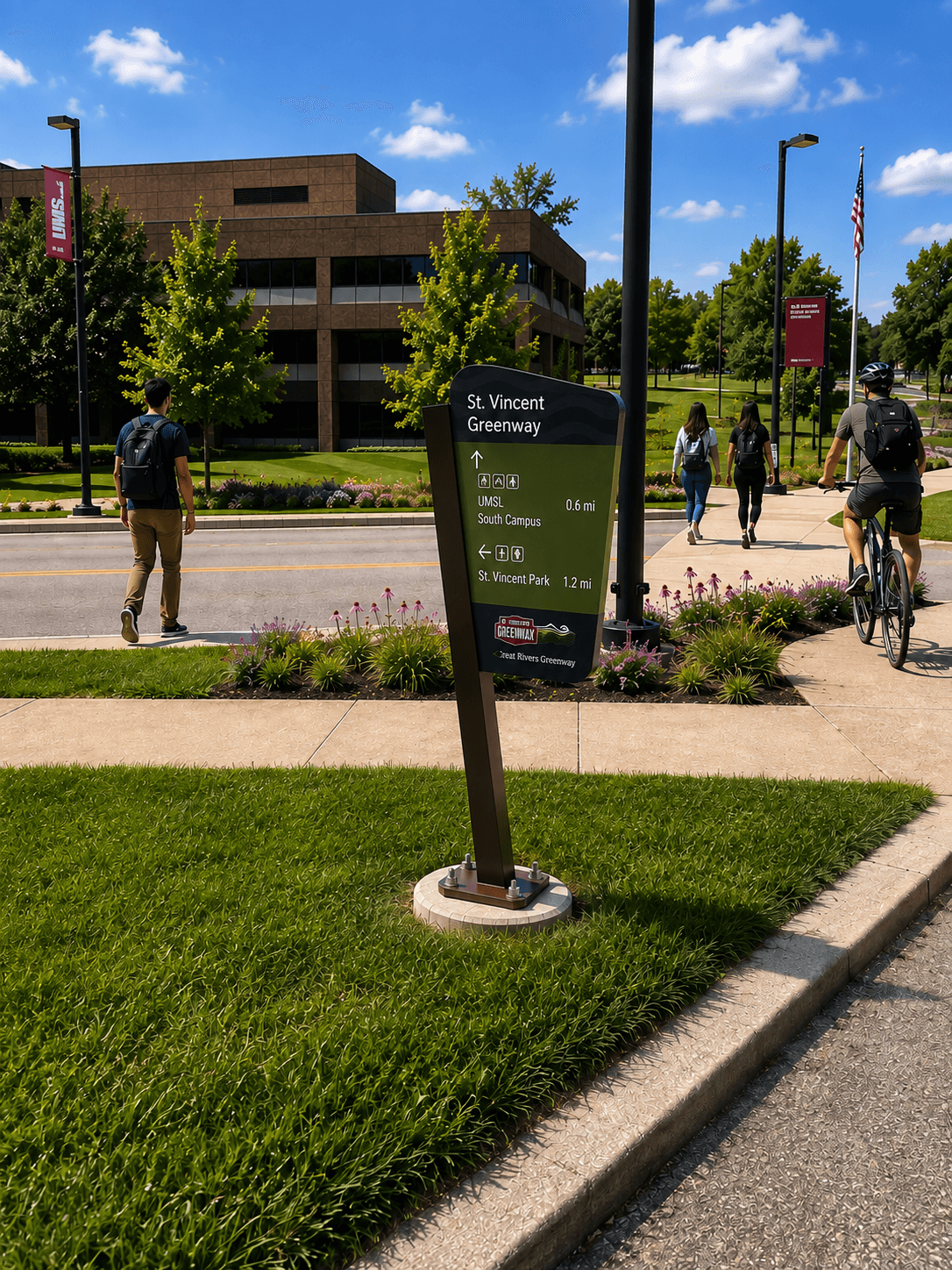


The result is not a redesign of the greenway. It is a legibility upgrade — small interventions distributed across 3.6 miles that make the St. Vincent Greenway easier to navigate, more welcoming to first-time users, and more clearly connected to the regional network it is part of.


